OUR EXPERTISE
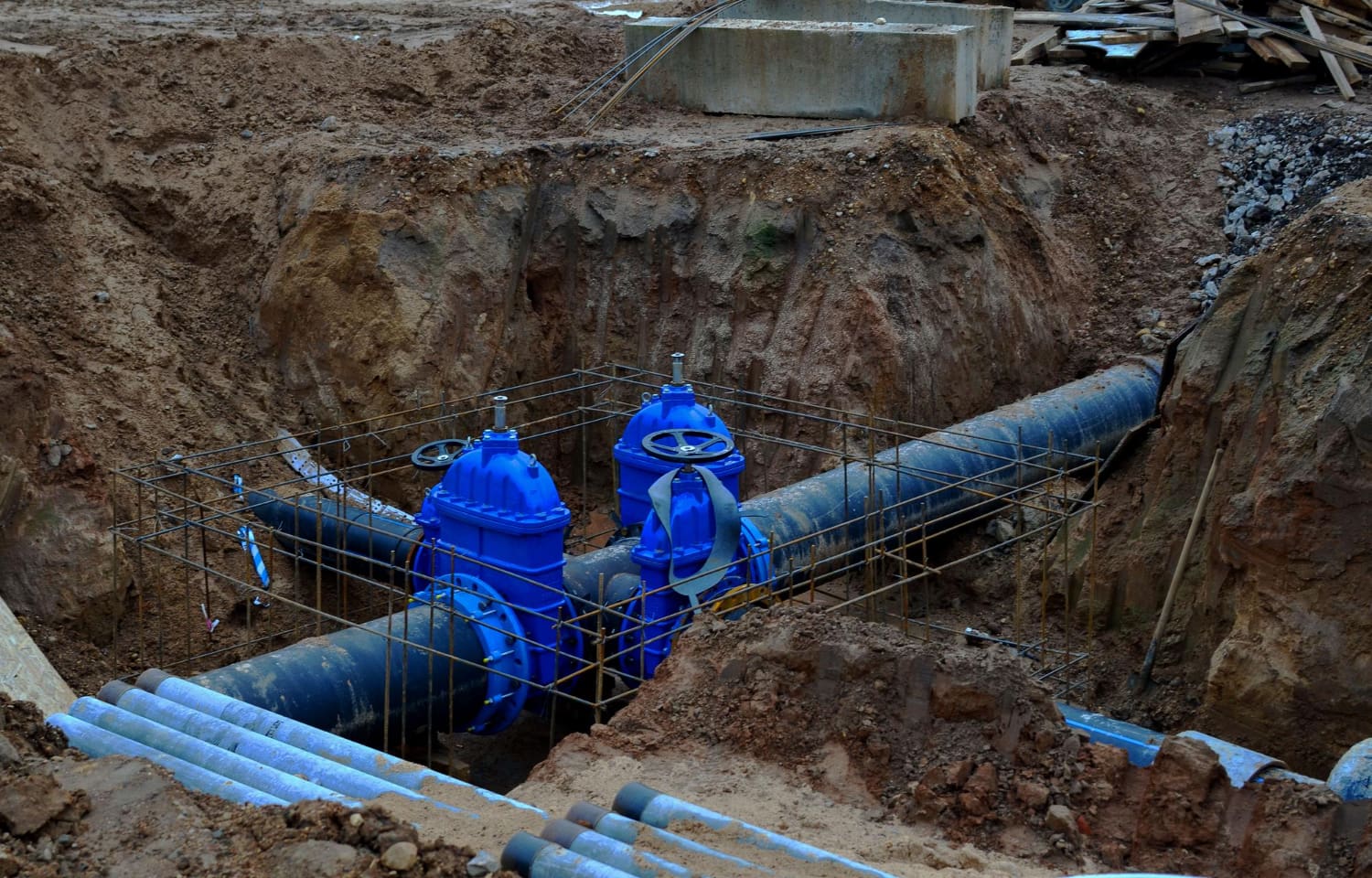
Precision Underground Mapping Experts
We understand the complexities and challenges associated with underground mapping. Our team of specialists is equipped with the latest technology and extensive knowledge to provide accurate and reliable mapping solutions. We pride ourselves on our ability to tailor our services to meet the unique needs of each client, ensuring that every project is completed with the utmost precision and care.
Property Georeferencing
Photogrammetry
Network Tracking with E.M. Equipment
Collector Survey
Scanning with Georadar (GPR)
Borehole Antenna Scanning (PPR)
Determination of Cavity Volumes
3D Models


Property Georeferencing
Our property georeferencing service accurately maps underground structures, aiding in planning, development, and maintenance, reducing costly errors, and ensuring regulatory compliance.
Photogrammetry
Our photogrammetry services create detailed 3D models of terrain and underground infrastructure, aiding in planning and analysis with high-resolution imaging techniques.
Network Tracking
Our network tracking services use advanced E.M. equipment to accurately locate and map underground pipes and cables with minimal disruption, ensuring efficient and effective mapping.
Collector Survey
Our collector survey services map underground utility networks, aiding in effective infrastructure management and maintenance, and identifying potential issues early.
Scanning with Georadar (GPR)
Ground-penetrating radar (GPR) non-invasively maps underground utilities, voids, and features with high precision, enhancing our underground mapping capabilities.
Borehole Antenna Scanning (PPR)
Our borehole antenna scanning (PPR) services deliver detailed subsurface information in challenging environments, providing a reliable solution for hard-to-reach areas.
Determination of Cavity Volumes
Our specialized equipment and expertise accurately determine underground cavity volumes, aiding informed infrastructure decisions for your projects.
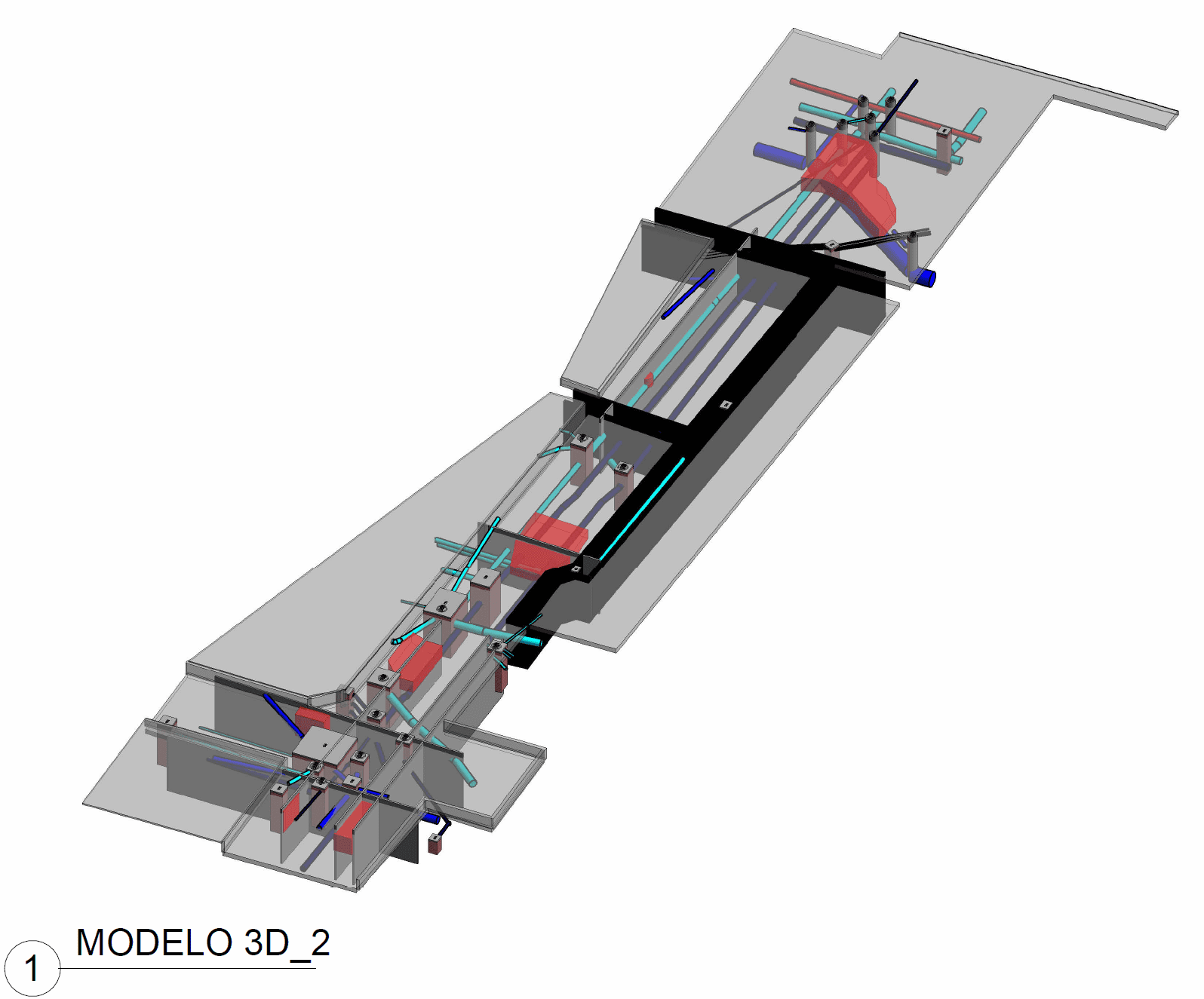
3D Models
Our advanced 3D modeling services offer comprehensive views of underground infrastructure, crucial for planning, analysis, and visualization, enhancing understanding of the subsurface environment.
Commitment to Excellence
Field of Applications
Our field of applications are the backbone of our underground mapping services. Our experienced team uses state-of-the-art equipment to gather accurate and reliable data from the field. These activities include:
Get in Touch
Ready to take the next step with your underground mapping project?
Our team is here to answer any questions you may have and provide expert guidance and support.
---
Contact us today to learn more about our services and how we can help you achieve your goals. We look forward to working with you and delivering exceptional results for your project.
