In an era where technological advancements redefine our daily lives, the realm of underground mapping is experiencing a groundbreaking transformation. Today, our understanding and management of underground utilities and pipelines have reached unprecedented levels of clarity and precision, thanks to the advent of advanced 3D mapping technology. This leap forward is not just an enhancement; it marks a revolutionary shift in how we visualize and interact with subterranean environments.
As urbanization accelerates and infrastructure demands increase, the necessity for efficient and accurate underground mapping becomes paramount. Traditional two-dimensional mapping systems, while useful, have significant limitations in conveying the complexity of underground utility networks. In contrast, 3D mapping technology offers a comprehensive, multi-dimensional perspective that is crucial for effective utility and pipeline management. Let’s delve into the innovations driving this transformation and explore the benefits they bring to the table.
The Technological Core: Advanced 3D Mapping Techniques
The backbone of modern 3D underground mapping lies in cutting-edge techniques that capture intricate details with extraordinary precision. Ground Penetrating Radar (GPR) is one such vital technology. GPR systems emit electromagnetic waves into the ground and measure the reflected signals to generate detailed images of subsurface structures. When integrated with advanced software, GPR produces high-resolution 3D maps that reveal the precise location and condition of underground utilities.
Another pivotal technology is LiDAR (Light Detection and Ranging). Traditionally used for above-ground mapping, LiDAR has been adapted for subterranean applications. By deploying laser pulses to measure distances to the ground and objects beneath, LiDAR generates accurate 3D models of underground features. When combined with GPR data, LiDAR enhances the reliability and depth of the generated maps, making it an indispensable tool in modern utility management.
Furthermore, the integration of Geographic Information Systems (GIS) with 3D mapping technologies has paved the way for more interactive and detailed maps. GIS platforms enable the layering of various data sets, including GPR and LiDAR outputs, into a unified, user-friendly interface. This synergy allows utility managers to access, analyze, and interpret complex underground data seamlessly, thus enhancing decision-making processes.
Overcoming Challenges with Precision and Efficiency
One of the primary challenges in underground mapping has always been the accuracy and completeness of the data. Traditional methods often fell short due to their inability to detect deeply buried or non-metallic utilities. However, advanced 3D mapping technologies bridge these gaps with remarkable precision and efficiency.
The precision of modern 3D mapping ensures that even the most intricate underground networks are accurately depicted. This level of detail is crucial for avoiding inadvertent damage during excavation or construction activities. Additionally, 3D maps facilitate the early detection of potential issues such as pipe leaks or structural weaknesses, allowing for timely maintenance and repair.
Efficiency gains are also significant. Traditional mapping methods were often time-consuming and labor-intensive, involving extensive manual surveying and data interpretation. In contrast, 3D mapping technologies streamline these processes through automated data collection and processing. This not only reduces the amount of time required to generate maps but also minimizes errors, ensuring that utility management operations are conducted swiftly and smoothly.
Transformative Impacts on Utility and Pipeline Management
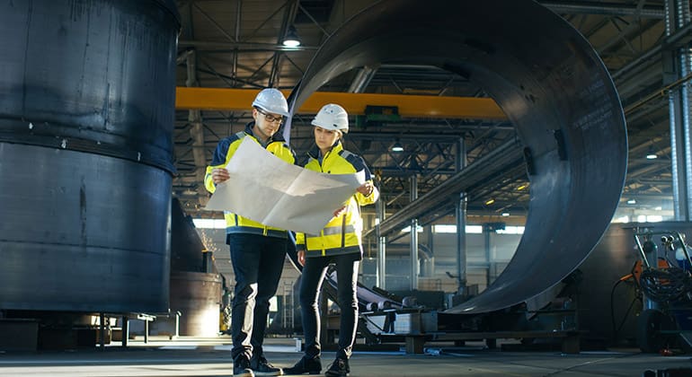
The introduction of advanced 3D mapping technology is transforming utility and pipeline management in profound ways. One of the most notable impacts is the enhancement of planning and design processes. Engineers and planners can now visualize underground utilities with unparalleled clarity, facilitating the design of more efficient and effective infrastructure projects.
For instance, when planning a new pipeline installation, engineers can use 3D maps to identify optimal routes that avoid existing utilities and minimize disruptions. This capability significantly reduces the risk of costly and time-consuming rework, ensuring projects are completed on schedule and within budget. Moreover, the ability to visualize underground assets in 3D allows for more informed decision-making, ultimately leading to better-designed and more sustainable infrastructure.
Maintenance and repair operations also benefit greatly from 3D mapping technology. Accurate and up-to-date 3D maps provide utility managers with a clear understanding of the condition and location of underground assets, enabling proactive maintenance strategies. By identifying potential issues before they escalate, utility companies can implement targeted interventions that extend the lifespan of their infrastructure and reduce the likelihood of service disruptions.
Enhancing Safety and Minimizing Risks
Safety is a paramount concern in utility and pipeline management, and advanced 3D mapping technology plays a crucial role in enhancing it. Traditional mapping methods often left room for uncertainty, increasing the risk of accidental damage during excavation or repair activities. With 3D mapping, these risks are significantly mitigated.
By providing a detailed and accurate representation of underground utilities, 3D maps allow construction and maintenance crews to operate with greater confidence and precision. They can identify the exact location of pipes, cables, and other infrastructure elements, thereby avoiding accidental strikes that could lead to costly damage or hazardous situations. This not only protects the integrity of the utilities but also safeguards the workers involved in these operations.
Moreover, 3D mapping technology assists in emergency response scenarios. In the event of a utility failure or leak, having access to precise 3D maps enables rapid and effective response efforts. Emergency crews can quickly identify the affected areas and take appropriate action to contain and resolve the issue, minimizing the impact on the surrounding environment and population.
The Future of 3D Underground Mapping
As technology continues to evolve, the future of 3D underground mapping looks incredibly promising. Innovations in data collection, processing, and visualization are expected to further enhance the accuracy, efficiency, and usability of these maps. Emerging technologies such as Artificial Intelligence (AI) and machine learning are poised to play a significant role in this evolution.
AI and machine learning algorithms can analyze vast amounts of mapping data to identify patterns and anomalies that may not be immediately apparent to human operators. This capability can lead to even more precise and reliable 3D maps, as well as predictive maintenance strategies that anticipate issues before they occur. Additionally, advancements in real-time data collection and integration will enable utility managers to access up-to-date information instantaneously, facilitating more responsive and agile operations.
The integration of augmented reality (AR) and virtual reality (VR) technologies with 3D mapping is another exciting prospect. AR and VR can provide immersive visualization experiences, allowing utility managers to explore underground environments in a highly interactive manner. This not only enhances the understanding of complex systems but also improves training and collaboration among teams.
Embracing the Transformation
In conclusion, advanced 3D mapping technology is revolutionizing the field of underground utility and pipeline management. By leveraging cutting-edge techniques such as GPR, LiDAR, and GIS, these technologies provide unprecedented accuracy, efficiency, and clarity in mapping subterranean environments. The transformative impacts on planning, design, maintenance, and safety are evident, and the future promises even more exciting advancements fueled by AI, machine learning, and immersive visualization technologies.
As we embrace this transformation, it is essential for utility managers, engineers, and policymakers to stay informed and proactive in adopting these innovations. By doing so, we can ensure the continued development of sustainable, efficient, and safe infrastructure systems that meet the demands of our rapidly urbanizing world.


